One interesting trend to watch in archaeology is the use of computers to simulate how the past would have looked. I've blogged before about a reconstruction that allows you to take a virtual walk through ancient Rome, and a project to digitally simulate authentic lighting conditions for ancient scenes and buildings.
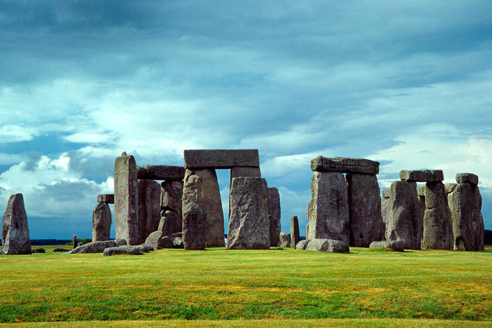
Now similar technology is being applied to Stonehenge - not so much the famous standing stones themselves, but other monuments and burial mounds in the area. Researchers have long speculated over whether burial monuments from the Early Bronze Age were positioned according to particular geometric patterns, perhaps in a way that reflected the cosmology or belief system of the time. For example, Ann Woodward of the University of Birmingham's Institute of Archaeology and Antiquity has suggested that monuments around Stonehenge seem to be arranged in two roughly concentric circles centred on the standing stones, one with a radius of 0.6-1.2 kilometres, and one with a radius of 2-2.4 kilometres. Such ideas are quite tricky to test, however, especially when you have remains of a variety of different ages and types, positioned on a rolling three-dimensional landscape. So Woodward's colleague Vince Gaffney is leading a 3-year effort to map buried archaeological remains in the terrain around Stonehenge with the latest geophysical imaging techniques.
The Stonehenge Hidden Landscapes Project, which starts this week, will involve taking millions of measurements of the position of remains in the ground. These will be analysed using computer software originally developed for building video games, to produce 2D and 3D images of how the landscape would have looked in Neolithic times. Then researchers can use the reconstructions to test their ideas about how different monuments and burial mounds were arranged.